The Urgell is located in the heart of the land to the west, the central basin of Catalonia, with an average height of 350 meters.
The county of Urgell bounded on the north with the Noguera, bordered by the chain saw and the town of Montclar forming a detached islet, surrounded by other counties. To the northeast, Segarra, with its terrain so characteristic tossalenc populated 'almond trees and cereals, which impregnated most of the banks of the rivers' Ondara and Zion, between areas of Tarrega and Agramunt; Garrigues and la Conca of Barbera in the south, which heightened the relief they are strong and the slopes between the serpenteig Corb river and the vineyards and olive groves. To the west, the plaIn Urgell, watered and prosperous, whose waters come mainly around the area Bellpuig.
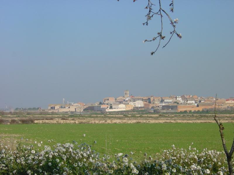
It is divided into three subcounties very clearly defined. To the north, the RIBERA DEL SIÓ as a main village with Agramunt. RIBERA d'ONDARA, a landscape Segarrenc with Tarrega, prominent as a center and regional capital, and east, the PLAIN OF URGELL, with Bellpuig as a large population.
RIBERA ONDARA
On the other side, we find the river Ondara which is smallest that across the region. The basin is often blurred by continuous filtration and points surada causing flash flooding in the middle of roads, houses and crops. Born in La Segarra and is introduced slowly in l'Urgell by Talladell, town added Tarrega. The river is perceptible to the terms of Tarrega, and Vilagrassa Anglesola.