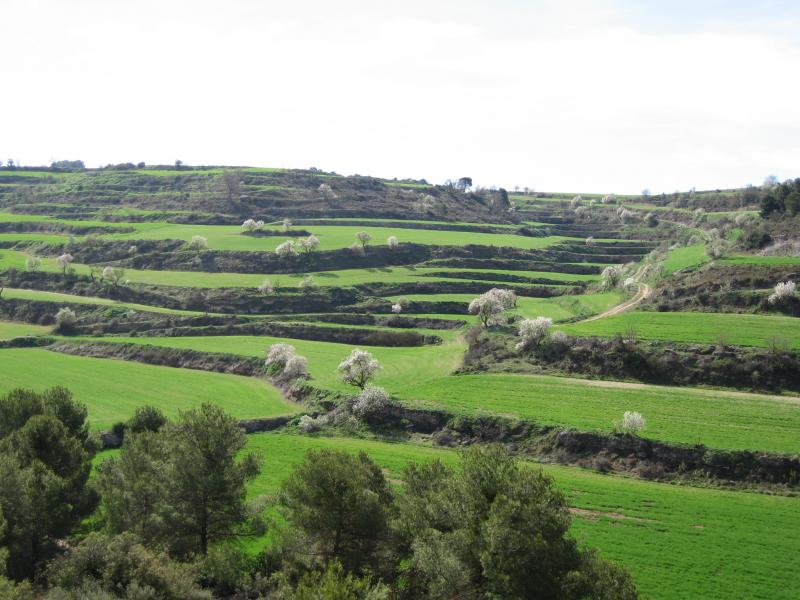
The Urgell is located in the heart of the land to the west, the central basin of Catalonia, with an average height of 350 meters.
The county of Urgell bounded on the north with the Noguera, bordered by the chain saw and the town of Montclar forming a detached islet, surrounded by other counties. To the northeast, Segarra, with its terrain so characteristic tossalenc populated 'almond trees and cereals, which impregnated most of the banks of the rivers' Ondara and Zion, between areas of Tarrega and Agramunt; Garrigues and la Conca of Barbera in the south, which heightened the relief they are strong and the slopes between the serpenteig Corb river and the vineyards and olive groves. To the west, the plaIn Urgell, watered and prosperous, whose waters come mainly around the area Bellpuig.
It is divided into three subcounties very clearly defined. To the north, the RIBERA DEL SIÓ as a main village with Agramunt. RIBERA d'ONDARA, a landscape Segarrenc with Tarrega, prominent as a center and regional capital, and east, the PLAIN OF URGELL, with Bellpuig as a large population.
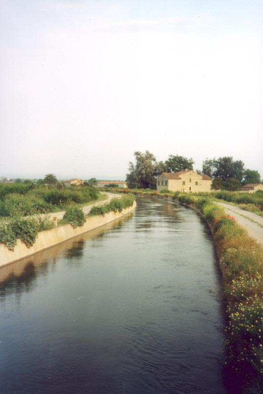
THE PLAINS URGELL
The plain of Urgel is concentrated in the area of Bellpuig, and follows the Canal d'Urgell that irrigates crops in the area, mostly fruit trees (apples, pears, peaches ...).
The banks of the River Corb, on the south side of the region, is another distinct area. This river owes its name to the many swirling that makes and breaks along the way. Crossing the more wooded and steep area Urgell and the neighboring regions of the Segarra, Garrigues, Conca de Barbera and Plain of 'Urgell. The landscapes and silences that are discovered in the basin of the Corb make their lands one of the most interesting area.